



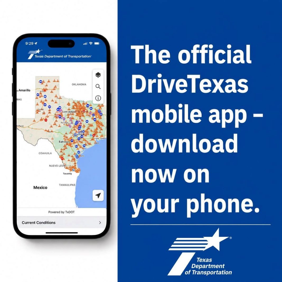
BROWNSVILLE, Texas – The Texas Department of Transportation has released a DriveTexas mobile app for Apple and Android devices, giving travelers access to real-time roadway information across the state.
The app uses TxDOT data to show traffic conditions, construction activity, crashes and road closures. It also provides information about flooding, snow, ice and roadway damage, along with access to traffic-camera images.
DriveTexas includes mapping and search tools, evacuation information, locations for rest areas and travel centers, and a feature that helps users find the local number for roadside assistance.
TxDOT’s online DriveTexas service saw a sharp increase in use during flooding July 16, when nearly 79,000 people accessed the system compared with a typical daily average of about 2,200 users, according to the city announcement.
Officials remind motorists to review travel information before leaving or have a passenger use the app. Drivers should not operate the app while behind the wheel.
Source: City of Brownsville.

